Mineral exploration teams face several connected challenges: detecting useful subsurface responses, maintaining field data quality, and bringing geological and geophysical information together for interpretation. Geomative addresses these needs through geophysical instruments and digital subsurface platforms.
Its proposition—“Making Subsurface Information Clearer and More Reliable”—reflects an approach that connects field acquisition with data analysis. For exploration teams, the potential advantage lies in selecting compatible equipment and software around a defined geological objective, then testing interpretations against independent evidence.
Understanding the Challenges in Mineral Exploration
Field efficiency and data reliability depend on more than instrument specifications. Terrain, electrode contact, survey geometry, target properties, and environmental interference can all affect acquisition.
In electrical surveys, high contact resistance can restrict current injection. Deep or weakly contrasting targets may also produce responses that are difficult to distinguish from noise. These conditions require appropriate survey design and quality-control procedures alongside suitable equipment.
Interpretation presents another challenge. Geological mapping, geophysical measurements, and borehole records may use different formats or coordinate systems. Bringing them together can help teams evaluate competing explanations and identify where further investigation is needed.
Geomative’s hardware and software offerings address different parts of this workflow, from electrical and electromagnetic measurements to spatial data management.
Geomative’s Integrated Geophysical Technology Platform
High-Power Resistivity and IP Imaging Systems
Geomative’s electrical survey range includes the single-channel GD-10 and multi-channel GD-20 and GD-22 systems. Their specifications and supported functions should be evaluated separately.
For the GD-20, the manufacturer lists optional transmission power up to 9000W, 24-bit A/D conversion, and power-line rejection of at least 120dB. These figures describe particular equipment capabilities; they do not guarantee a target depth or apply automatically to other models.
The required power source, measurement mode, cables, and switching accessories should be confirmed as a compatible configuration. Higher transmitter capability can help under suitable conditions, while field data review can support checks on measurement quality.
Resistivity and IP surveys can help delineate electrical-property contrasts relevant to mineral exploration. Interpreting those contrasts as mineralization requires geological context and appropriate follow-up, such as drilling and sampling.
Transient Electromagnetic Systems for Different Survey Settings
Geomative’s TEM range addresses several deployment needs. The GT-10 is positioned for medium and deep exploration, GT-20 for tunnel advance prediction, GT-30 for shallow investigations, and GT-40 for borehole TEM.
These instruments should be selected by application rather than treated as sharing one guaranteed depth range. Effective investigation depth and resolution depend on the target, surrounding geology, acquisition geometry, and noise conditions.
TEM can contribute to mineral and groundwater investigations, but conductive anomalies may have more than one explanation. Geological information and verification are essential when distinguishing mineralized zones from water-bearing structures or other conductive features.
DIGspace Geospatial Platform for Data Integration
DIGspace supports the organization and visualization of ERT, GPR, borehole records, and other project data within a shared spatial environment. Desktop analysis and web collaboration provide ways for teams to work with the same project information.
Its documented ERT workflow includes measurement review, contact-resistance checks, online inversion, and visualization. These functions can help connect acquisition results with subsequent interpretation.
Data integration still requires consistent coordinates, reliable source records, and transparent processing. Three-dimensional visualization should also be distinguished from the inversion method used to generate the underlying model.
Before adopting the platform, teams should test representative datasets and confirm the required modules, import and export formats, and connections to field equipment.
Documented Applications in Mineral Exploration
Geomative’s published cases illustrate how geophysical measurements can guide exploration and where verification enters the workflow.
In a Brazil gold exploration investigation, GD-10 resistivity and IP measurements were used to delineate anomalies and recommend locations for further investigation. The report proposed drilling to confirm possible sulfide-bearing zones. The documented contribution was target prioritization, rather than confirmation of gold resources through electrical measurements alone.
At the Beishan lead-zinc mine in Guangxi, Geomative reports using GT-30 TEM to investigate underground water and mineral targets. Measurements from multiple directions were interpreted alongside known geological relationships to distinguish different conductive anomalies.
According to the company’s case report, subsequent exposure verified the interpreted locations of a water-bearing zone and a lead-zinc ore body. This is a reported result for that project, supported by its site-specific interpretation and verification process.
Together, these examples show how geophysics can support exploration decisions when measurements are connected to geological understanding and follow-up evidence.
A Connected Approach to Subsurface Information
Geomative’s offering links field instruments with digital processing, interpretation, and collaboration. This creates an opportunity to manage more of the investigation within a connected workflow.
Each stage has a distinct role. Field equipment records physical responses. Quality control evaluates measurement reliability. Processing and inversion produce models. Geological interpretation assesses what those models may represent. Drilling, sampling, or other investigations then test the conclusions that matter to the project.
A connected platform can help preserve data and processing history across these stages. Its practical value depends on compatibility, traceability, and the ability to review uncertainty—not simply on displaying several datasets together.
Deployment requirements should therefore be established before fieldwork, including equipment interfaces, data transfer, software functions, and team access.
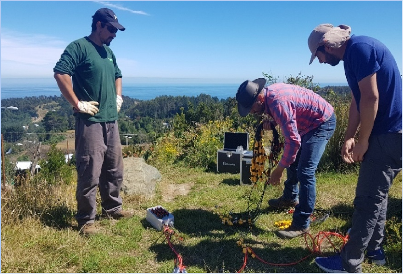
Evaluating Geomative’s Fit for Mining Operators and Geologists
Mining teams need equipment and interpretation workflows suited to their target geology, access constraints, and decision requirements. Geomative offers resistivity, IP, TEM, and digital-platform options that can be evaluated against those needs.
The company’s current profile describes it as a national high-tech enterprise, and its homepage reports customers served in more than 50 countries and regions. These provide company background; the suitability of a proposed solution should still be demonstrated using the selected configuration and relevant project conditions.
For procurement and technical teams, a practical evaluation should establish:
-
Whether the proposed method can resolve the expected physical-property contrast.
-
Whether the instrument and accessories meet the acquisition requirements.
-
Whether field quality-control procedures can identify problems promptly.
-
Whether the software supports the required data exchanges and interpretation workflow.
-
How important geological interpretations will be independently verified.
Geomative’s potential edge lies in bringing complementary acquisition and data-management capabilities into a coordinated exploration workflow. When configured around the investigation and supported by verification, that workflow can help teams turn field measurements into better-informed exploration decisions.
https://www.geomative.com/
Geomative Co., Ltd.